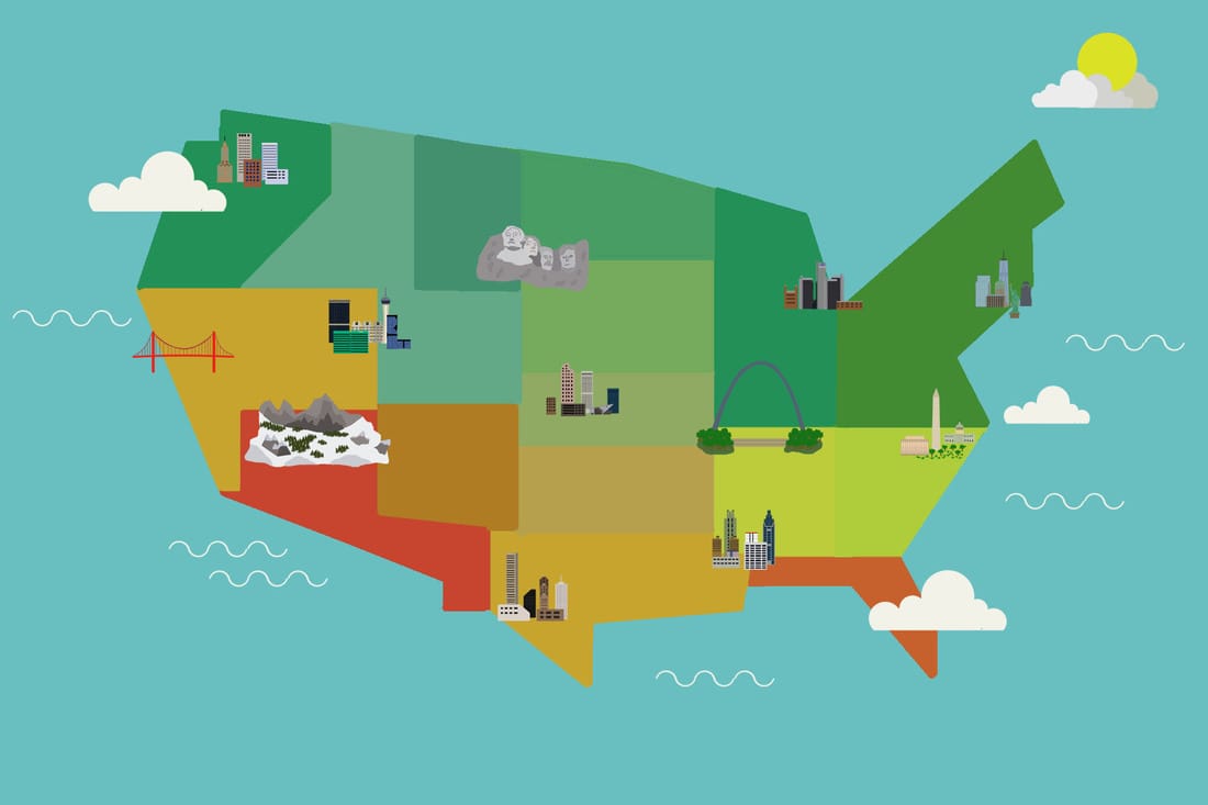
For this project, I followed a tutorial on photoshop lady on making country maps. I started out by finding a climate map of the United States, and based the map colors off of that. Warmer climates have brighter colors, cooler climates have calmer colors. My next step was drawing out the cities that I put on the map. I chose cities that are famous like NYC, Denver, and Las Vegas. I had to draw each building out then align them to look nice. The third step was drawing out US landmarks like the golden gate bridge, gateway arch, statue of liberty, etc. My final step was drawnig out clouds and water ligns to make the map more detailed. I made the clouds and sun out of the circle brush, and water lines with the warp tool.
